Doubiyeh Castle
Doubiyeh Castle
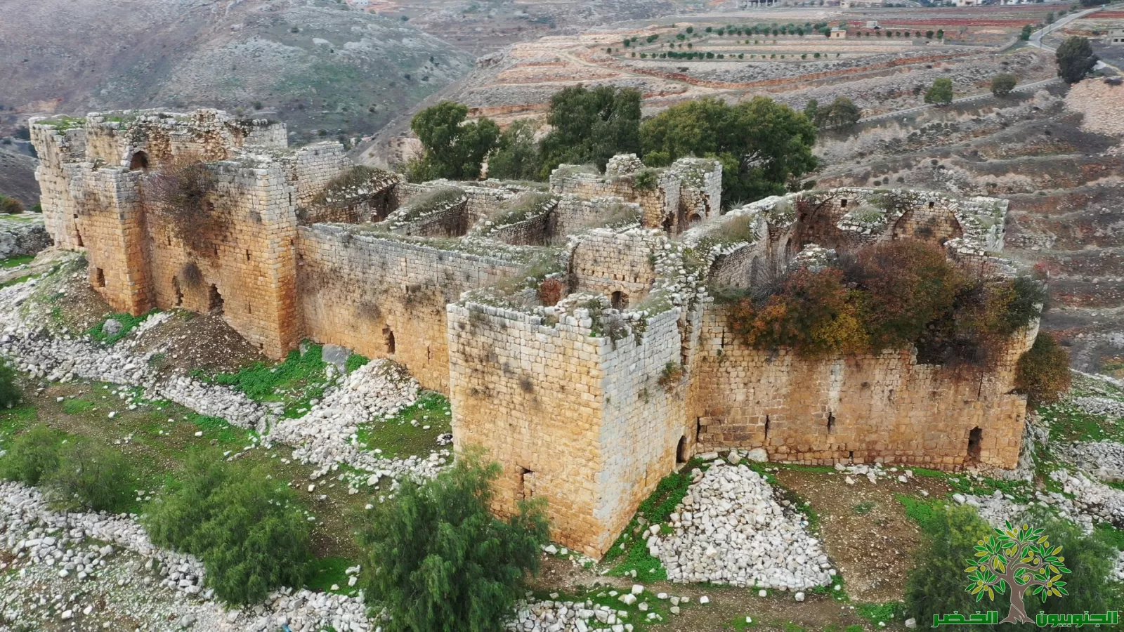
The castle stands on the edge of a plateau that overlooks a wide agricultural valley. The plateau links to an older mound used by local communities for a long time. This makes the area around the castle part of a long agricultural setting that predates the Crusader fortification. The stone terraces around the site add important evidence for understanding how the landscape supported farming in Jabal Amel.
Architectural analysis shows an early Crusader phase with a main tower and limited defensive walls. A second Crusader expansion followed in the thirteenth century. Ayyubid modifications appeared after the brief fall of the site in the late twelfth century. Mamluk additions followed once control was secure in the early fourteenth century. These changes shaped the form of the towers and the design of the entrances.
The seventeenth century saw a new phase of reinforcement during a period of political tension in Jabal Amel. Local leaders expanded their power and clashed with Ottoman authorities. Defensive elements were added in this period, especially on the southern and eastern sides.
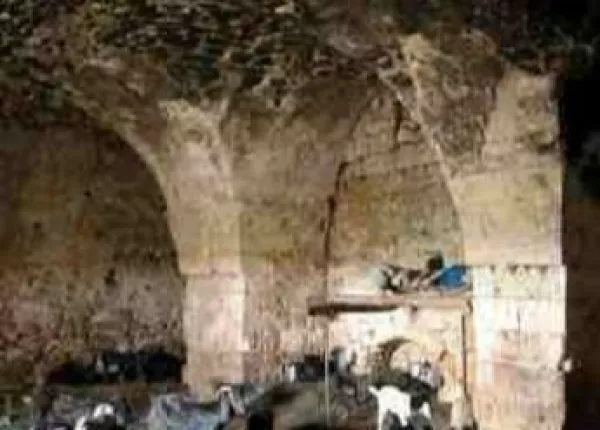
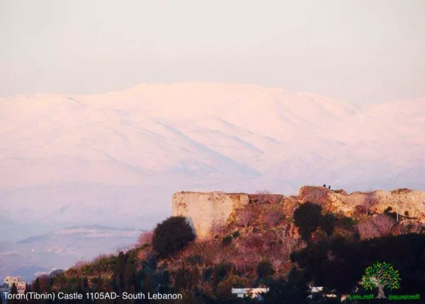
Findings from the French mission show that the castle served a mixed role. It had a defensive function, but it also acted as an administrative point for the surrounding farmland. Internal courtyards, storage rooms, and small service spaces point to daily activity linked to managing the nearby hills. This makes Qalʿat Doubiyeh different from the larger castles of Tibnin and Shaqif. Its smaller size and layout show a site tied to local agriculture rather than major long-distance routes.
The evidence highlights the importance of the castle for understanding settlement patterns in Jabal Amel. It offers a rural model of a Crusader fortress with clear layers from multiple periods. It helps explain how fortifications interacted with terraced farming systems and how communities used the land in the medieval hills.
The castle holds archaeological value because it preserves original Crusader walls on its western and southern sides. Its surroundings keep a continuous agricultural fabric that supports the reading of the site as a long-term cultural landscape.
The site faced several assaults during the 2024 to 2025 attacks. After the ceasefire on 27 November Israeli forces entered the area around the castle and moved into its archaeological zone. On 25 February military machinery cleared trees and parts of the road that leads to the site. This damaged the terraced landscape around it. On 26 February the forces returned and carried out a second entry into the castle area. These actions increased the risks facing the remaining fortification and the historic agricultural environment. They require close monitoring of the damage and updated protection measures within the Jabal Amel fortresses framework.

Related Posts
-
 Castles and Towers
 -
 Castles and Towers
 -
 Castles and Towers